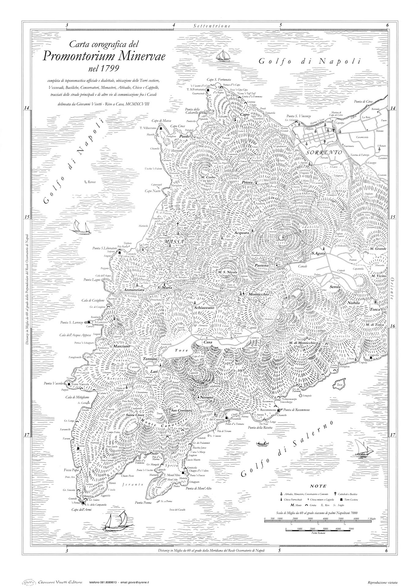
The present project, which includes the itineraries of SorrentoWalks, is the third and a substantially different version of the Tolomeo Project presented by Giovanni Visetti to the Municipality of Massa Lubrense for the first time in 1990 and then extended to Sorrento and Sant’Agnello in 2002/03. The Project’s mission was to identify a series of walking itineraries linking the many localities and places of touristic and natural interest as far away as possible from roads, noise and densely populated areas.
Today our mission is the same!
Today, encouraged by widespread approval of the project and having seen over the years a constant increase in the number of people (residents and visitors, Italians and foreigners, independent walkers and guided groups), following these traditional itineraries along secondary roads and paths, the aim remains the same. There are however several substantial changes: some completely new routes, a change to the logical structure of the network, new codes and colours identifying the routes, and updated waymarking.

The original project included 22 itineraries divided into various categories: loops (7, linked together), excursions (4, there and back),
crossings (9, linear) and the Alta Via dei Monti Lattari divided into two sections). The itineraries were marked with painted trail signs on the ground and subsequently glazed bricks were added at main intersections and strategic points, indicating the direction to follow and the distance to the destination. Two-colour codes were used for the waymarks and repeated on the popular bricks which also bore two-colour stripes, the name of the destination and sometimes the distance still to go. Various editions of a map were also produced including the entire area covered by the Project, highlighting the itineraries and identifying colours, as well as giving historical and cultural information. Already earlier than the year 2000, various routes had become virtually impassable due to landslides or simple neglect and, in addition to this, it was realised that loops, whilst providing great flexibility in planning longer walks, were not easily followed by inexperienced walkers or those with poor map reading skills. So, in 2002/2003, thanks to financing from AAST Sorrento – Sant’Agnello, the New Tolomeo Project was born, extending it to
Sant’Agnello and radically reorganising the original structure, also because some routes of great interest had to be excluded due to their impracticability (eg. Via Sant’Anna, landslip between Rio Annunziata and the chapel).
Coloured numbers were chosen for the coding system, each one identifying a specific type of itinerary: red for longitudinal ones, blue for those going coast to coast
(so transversal to the former), green for routes linking the villages and yellow for dead-end paths (Jeranto, Crapolla, Regina Giovanna, …). The route and classical
red/white striped waymarks of the Alta Via dei Monti Lattari (at the time CAI 00) remained unchanged. The bricks were replaced by thinner tiles of varying dimensions
(depending on how much information was included and where they were to be placed), the former waymarks were covered, and new ones painted. From then on, whenever a new
edition of the map was produced, minor corrections and variations were made and in the last few years some totally new, interesting itineraries were added following the
restoration of public paths abandoned for decades such as Acquacarbone (Sorrento) and Vuallariello (Massa).
Tolomeo 2021 also shortens the average length of the itineraries, aiming at directing walkers to localities that can be reached by public transport and are equipped
with parking, bars, food shops and other services of touristic interest, and from where each person can choose whether and how to continue along the other routes departing
from that point.