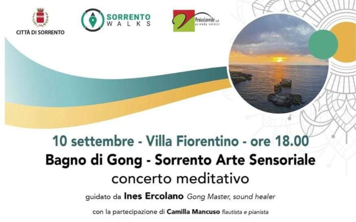
The map of the walking itineraries in the Municipality of Sorrento and routes towards Massa Lubrense and Sant’Agnello is available


20-09-2022

The new map of the paths of the Tolomeo 2021 Project is available at the info point in Piazza Tasso. The initiative, promoted by the Municipality of Sorrento and by Penisolaverde, is dedicated to all trekking enthusiasts, and shows of the publication the itineraries that connect Sorrento with the center of Massa Lubrense and the hamlets of Monticchio and Sant'Agata sui due Golfi. For the first time, the new two-digit codes and colors that walkers will find along the itineraries are shown on the map, where over one hundred ceramic tiles have already been placed, which for thirty years have identified and characterized the routes of the more than 100 kilometers of the Tolomeo project in the Sorrento peninsula, of which over 32 kilometers in the Sorrento area. On the opposite side, the map of the center of Sorrento is printed, enriched for the first time with the indication of the circuit of the "Walls and Gate of Sorrento" indicated with the code 11. The map can also be downloaded from the following links:


The map of the walking itineraries in the Municipality of Sorrento and routes towards Massa Lubrense and Sant’Agnello is available

Recommended News